Seamless field data transfer for simple farm management
Historical field data uploading tools and in-cab data transfer.
Play Now
Climate FieldView™ for Planning: Integrating With Your Equipment
Get a complete picture of your operation.
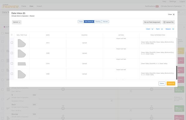
Collect data and see your field maps build in real-time while easily storing that data in your account. Transfer historical data seamlessly between FieldView and other agronomic software providers, or upload data stored in other places.
CONNECT IN REAL-TIME

UPLOAD HISTORICAL DATA

SHARE CRITICAL INFORMATION

We have a very good, interesting relationship with all our input suppliers. I share all the data and it just allows for smoother conversations.
Jesse Driedger
Farmer

Seamless connectivity with FieldView™ Drive
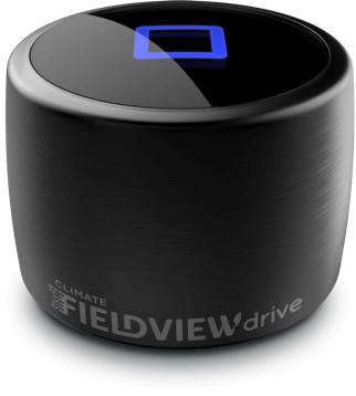
The FieldView™ Drive is an in-cab hardware device that plugs into your equipment’s CAN diagnostic port, capturing both machine and field data. It connects your equipment to your iPad® mobile device via Bluetooth®, allowing you to collect data and store it as you pass through your fields. FieldView™ Drive compatibility now includes many equipment types such as tractors, combines, liquid applicators, and planters to help you collect input data without the hassle of manual data entry. Field data connectivity also is enabled through Precision Planting 20/20 SeedSense® and Precision Planting YieldSense® monitors.
Get connected today
Data Visualization
Use digital maps to make the most from your field data.


